 DoneThat
The Derbyshire Gritstone Edges and Moorlands, Derbyshire Peak District, England

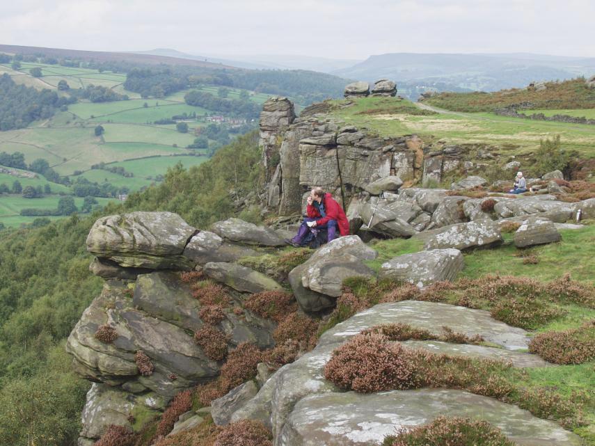
Burbage Edge or Rocks.
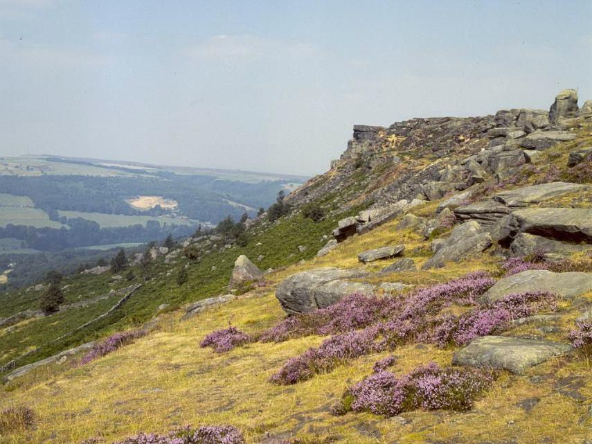
Looking north-west over Hallam Moor from the top of Burbage Edge.
The tip of Stanage Edge, which appears as a tilted, flat topped, section in the centre of the horizon can be seen in the distance. This area of moorland is actually part of South Yorkshire but it is within the Peak District National Park and so has been included here.
| Comment |  |
More near Burbage Edge |
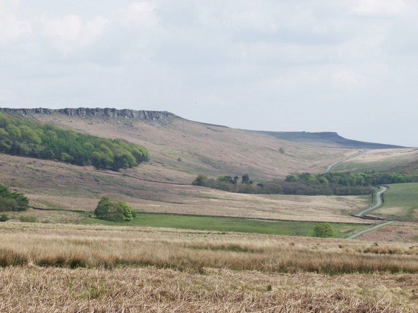
Looking north on Froggatt Edge which is on the boundary of the Gritstone (the edge) with the Limestone (the valley below). The high ground on the right of the horizon forms part of the Dark Peak moorland.
Froggatt village is about 6 miles north-west of Bakewell and about 3.5 miles north of Chatsworth.
This edge continues for about three miles but changes it's name to Curbar edge and then to Baslow edge along the way.
| Comment | More views of Froggatt Edge |
Just below the top of Curbar Edge showing some Heather.
| Comment | More views of Curbar Edge |
This view is from the the moor below Stannage Edge on the approach path from near Dennis Knoll. There is parking space available at the start of the path. The road to Dennis Knoll can be seen snaking off over the moor and can be accessed from Bamford, Hathersage or Sheffield via Ringinglow.
The approach path goes up onto the edge about mid-way along and is part of the old Roman road from Brough to Doncaster. We stayed at the Yorkshire Bridge Inn when we last visited Stanage Edge.
| Comment | More views of Stanage Edge |