 DoneThat
The Strand area, London
This set of pages stems from a walk we did in 2014 from the west end of the Strand to its east end exploring a lot of the back streets on the south side. The pages have been arranged in series so that if you want to follow the route we took then just follow through the pages. The map link above will give an overall view of the route with some larger scale maps on the following pages.
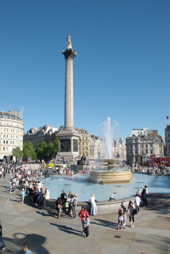
At the western end of the Strand is Trafalgar Square with Nelson's Column at its centre and surrounded by fountains. The name commemorates the Battle of Trafalgar (1805), a British naval victory of the Napoleonic Wars.
Trafalgar Square ranks as the fourth most popular tourist attraction on Earth with more than fifteen million visitors a year and I think that most of them were there when we visited.
| Comment | 
| More of Trafalgar Square |
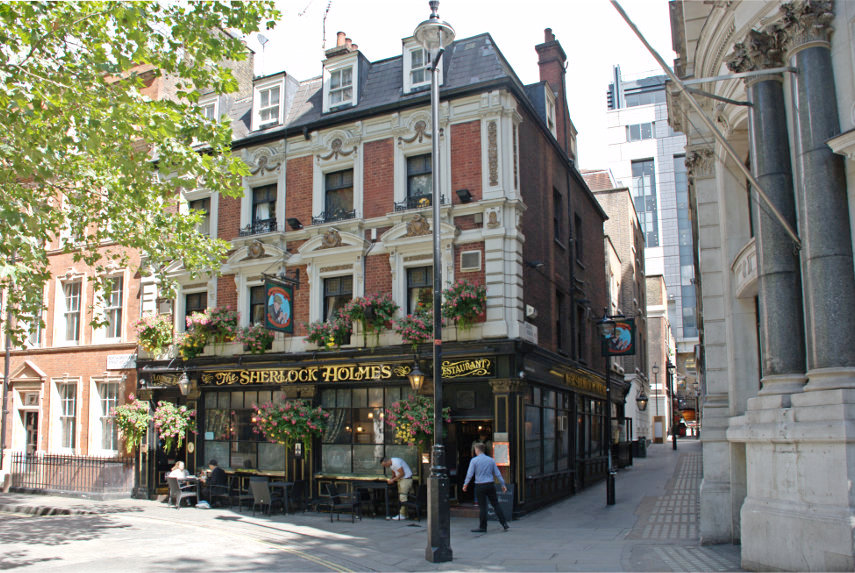
From Trafalgar Square walking eastward on the north side of Northumberland Avenue will bring you to a small road junction with the Sherlock Holmes pub set back from the main road.
This pub used to be the Northumberland Arms and was renamed in 1957 because a replica of Holmes' and Watson's sitting room and study, which is full of authentic Victorian items relating to Sherlock Holmes and his exciting escapades, was installed after it was moved from the Festival of Britain.
| Comment | Trafalgar Square to Charing Cross |
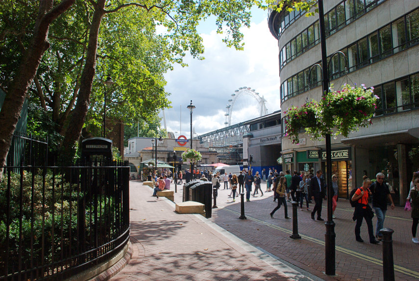
Emerging from the Arches under Charing Cross Staion you will find yourself approximately halfway along Villiers Street. This view is at the bottom of the street near Embankment Station showing the London Eye peeping over the buildings. You may also notice the top of a telephone box on the left and you may also notice that it is not the traditional red colour but I don't know why.
Just to the left is Victoria Embankment Gardens.
| Comment | Charing Cross to the Adelphi |
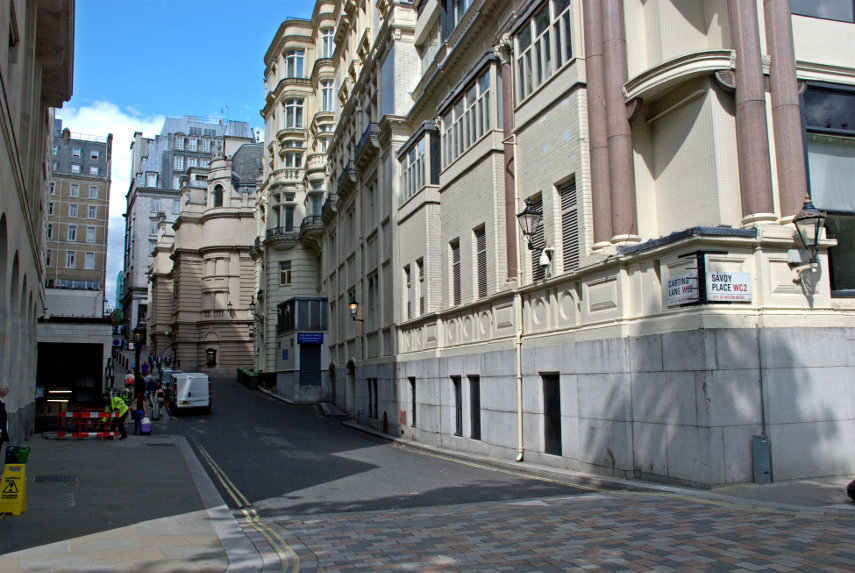
Turn left up Carting Lane. Walking up Carting Lane towards the Strand there is a single gas street lamp on the left which is lit day and night and there is a reason for that.
The building on the right is part of the Savoy Hotel and the building further up the lane jutting out on the same side is the Adelphi Theatre.
| Comment | The Adelphi to the Savoy |
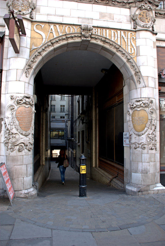
A short way past Savoy Court is the entrance to Savoy Buildings. This alley was originally named Fountain Court, until 1883, after the Fountain Tavern which stood on this site. Going down the alley leads into Savoy Way.
| Comment | The Savoy to Aldwych |
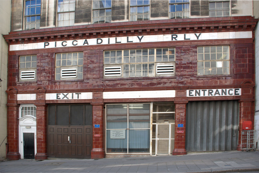
It was opened in 1907 with the name Strand, after the street on which it is located, and was the terminus and only station on the short Piccadilly line branch from Holborn that was a relic of the merger of two railway schemes. It was not a financial success and was eventually closed.
Walk back up to the Strand then turn right (east).
| Comment | Aldwych to Temple |

You will eventually reach this point which is just beyond the end of the Strand and into Fleet Street past the junction with Chancery Lane.
The timber-framed building on the left is the entrance to the Temple and in the larger picture you should be able to see the Temple Bar monument in the middle of the road marking the boundary between Strand and Fleet Street and also the boundary between the City of Westminster and the City of London.
| Comment | More of the Temple |